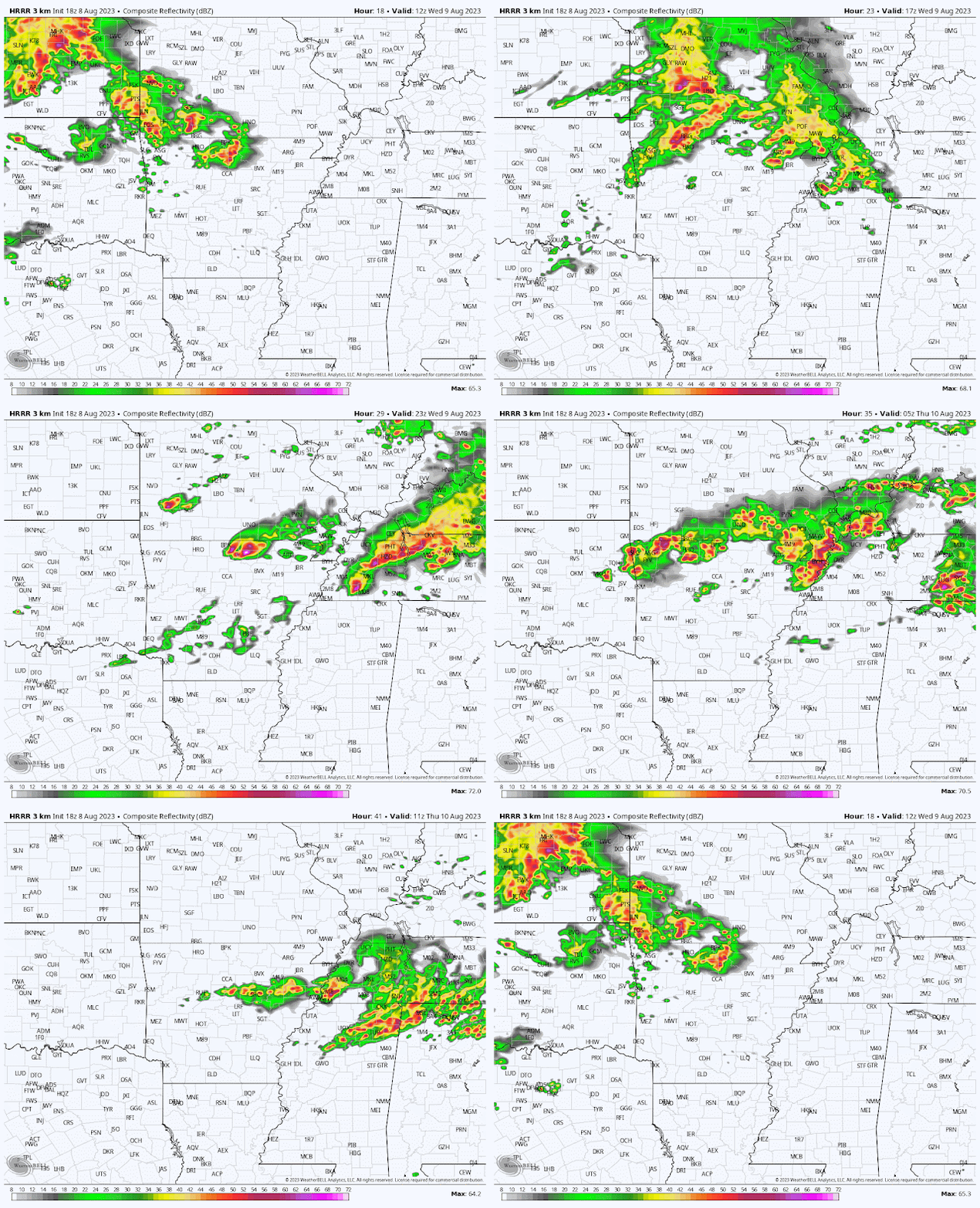
As if we needed even more proof that this one of the busiest Mid-South summers for severe weather, yet another threat presents itself on Wednesday. And this one could be muti-pronged.
The unknown is a given...
The first thing to know about tomorrow is that there is simply a lot we do not know yet, even the night before. We are looking at the potential for multiple rounds of thunderstorms crossing the Mid-South, but believe there will be two main "windows" for severe weather. However, within those, multiple storms are possible.
One of the reasons for the uncertainty is that each wave could have an effect on what happens in its wake. If predicted storms do not materialize, or are brief, it could keep open the possibility of the next one being a bit stronger. However, if a larger complex of storms were to move through early, then it could stabilize the atmosphere in its wake and result in a weaker round later.
...but honestly it is, Mitch. So let's talk about what we know and what we think we know.
What we know
The Storm Prediction Center believes that the threat of damaging wind is high enough (as of Tuesday evening) between 7am Wednesday and 7am Thursday to include areas roughly north of the TN/MS line in an Enhanced Risk of severe weather, level 3 out of 5. Areas south of the state line are in a Slight Risk (level 2).
Damaging wind is the main threat with any storms that move through tomorrow. Yes, again. By now you know how to prepare for that - secure it, stow it, and charge it. Heavy rain and lightning are also likely, probably multiple times. If storms move over an area repeatedly, flash flooding could result. It's not likely from a single storm, but a couple back-to-back could overwhelm storm drains or small creeks and tributaries. Secondary threats, which are not as likely but also cannot be ruled out, include hail and an isolated tornado. Tornadoes in August?? Do I have to remind you this is not your typical summer? Yes, it is in the realm of possibility that the strongest storms could be capable of spinning one up. Not likely, but not zero chance.
.png) |
| The probability of a tornado occurring within 25 miles of Memphis is about 5%. (SPC) |
What we think we (might) know
There will likely be multiple windows when storms are expected, but the two main ones appear to be mid-morning through early afternoon and evening through the early overnight hours. In Shelby County and immediate vicinity, we think that means about 9am-2pm and about 5pm-2am. But check back again regularly tomorrow because that could, and probably will, change!
In addition, the potential for the strongest storms appears to be with the last wave to move through, which we think will be around midnight or shortly thereafter. That is, if the atmosphere is not so worked over that the storm fuel is tapped out. Additional showers and probably thunderstorms will be possible even after that, but we believe that by then, the severe threat will be quickly declining.
Most of the strongest storms will probably be north of the TN/MS state line, in northern AR and west TN. Memphis sits on the southern edge of the Enhanced Risk and while there is little the high-resolution models agree on, one is that the best severe parameters currently are north of Memphis. However, again, that could change. All it takes is one butterfly to flap its wings, or one big mean supercell, to change that. And we know that a Slight Risk is not nothing. How many trees and power lines have been downed in Slight Risk or lower this summer?
How we prepare
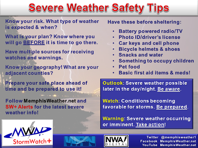
By now, we hope that everyone has learned their lesson. It's not like we haven't seen this before, recently, multiple times. Charge devices and auxiliary power banks overnight tonight and keep them charged tomorrow. Anything outside that could lift-off without so much as a countdown clock should be tied down or brought in. That might include Fifi the poodle, and it certainly includes lawn furniture, patio cushions, etc. If you have a place to park under cover, use it. Program whatever devices you use for severe weather notifications as well.
And of course stay plugged in, not just to your outlets, but to your no-hype weather peeps. They'll keep you sane and informed. If storms move through and the sun comes right back out, expect the next round could be severe. We'll keep social media posts going regularly throughout the day starting early tomorrow morning with the latest adjustments to the forecast as needed. Be prepared, not scared.
MWN Meteorologist
----
Follow MWN on Facebook and Twitter for routine updates and the latest info!
Complete MWN Forecast: MemphisWeather.net on the mobile web or via the MWN mobile app
Download our iPhone or Android apps, featuring StormWatch+ severe weather alerts!
 |  |
| MWN is a NOAA Weather Ready Nation Ambassador | Meteorologist Erik Proseus is an NWA Digital Seal Holder |


.gif)


.gif)

1 comment:
Thank you so much, Erik!
Post a Comment